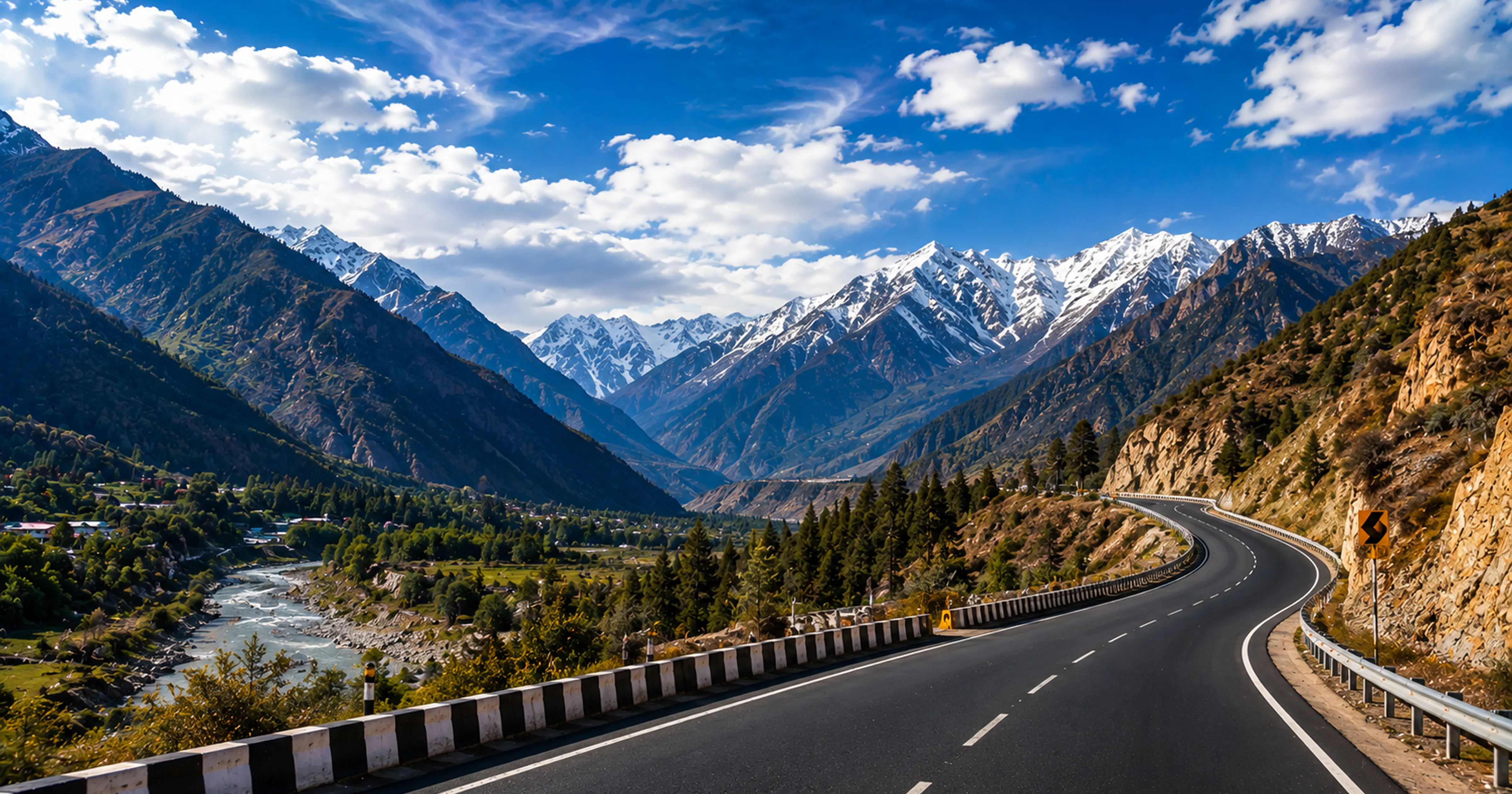
Most travel guides treat highways as connectors — the thing between the destination and where you started. The highways in this guide are the destination. There are roads in India where you stop more than you drive — where the light on the ocean at 6 AM, the mist on a Western Ghats valley at dawn, the salt pans that look like snow in the afternoon heat, or the moment a herd of elephants crosses the forest road at exactly the moment you arrive creates photographs that no planned destination produces. India's most beautiful highways for photography are not in the North only. Coastal Karnataka has a stretch where the Arabian Sea runs on one side and a calm river on the other simultaneously — described by Outlook Traveller in April 2026 as feeling 'almost unreal.' The East Coast Road from Chennai has salt pans that force you to stop every 2 km. The Pamban Bridge places your car on a causeway over the Indian Ocean. The Bandipur forest road at 6 AM has wildlife crossings that no safari guarantees. Here are 10 of India's most beautiful highways for photography in 2026 — with the specific stops, specific golden hour timings and the MM Miles self drive car that gives you the freedom to stop whenever the shot demands it.
Why Self Drive Is the Only Way to Photograph These Highways
Every highway in this guide has photography moments that are time-specific, light-specific and often completely unplanned. The elephant crossing on the Bandipur forest road happens when it happens — not at a time printed in a tour schedule. The golden light on the Marakkanam salt pans lasts 20 minutes after sunrise. The Pamban Bridge at dawn requires you to arrive at a specific moment and stay as long as the light holds. A tour bus cannot stop for 25 minutes for a salt pan. A cab driver cannot pull over repeatedly for landscape compositions. A self drive car can — and does. You stop when you want, for as long as the shot requires, and drive on when you are done. This is not a preference for photography road trips. It is the only format that works.
The 10 Most Beautiful Indian Highways for Photography in 2026
Highway 1 — East Coast Road, Chennai to Pondicherry (ECR) — The Bay of Bengal Companion
162 km. Starts at Chennai's southern limit at Thiruvanmiyur and ends at Pondicherry's northern entry. The Bay of Bengal runs parallel to the road for virtually the entire distance — visible from the car window, accessible from pull-overs, audible at every stop. This is India's most accessible photography highway — no remote location, no difficult terrain, no permit required. Just the ocean, the road and the light.
Specific photography stops: Muttukadu Backwaters at 35 km — early morning mist over the estuary, fishing boats entering through the break from the sea, the ECR bridge over the backwater with boats below. Mahabalipuram Shore Temple at 58 km — UNESCO-protected 7th century Pallava temple on the beach. At sunrise from the beach, the temple is silhouetted against the Bay of Bengal. Arrive before 6 AM. Marakkanam salt pans at 110 km — the most underrated photography stop on the ECR. Crystalline salt formations that in afternoon light create a white landscape that looks like snow in 38°C heat. Flamingos visit the salt pans seasonally. Leave Chennai at 5 AM to drive the ECR in golden hour light.
Highway 2 — Pamban Road to Rameswaram (NH49) — Driving Over the Indian Ocean
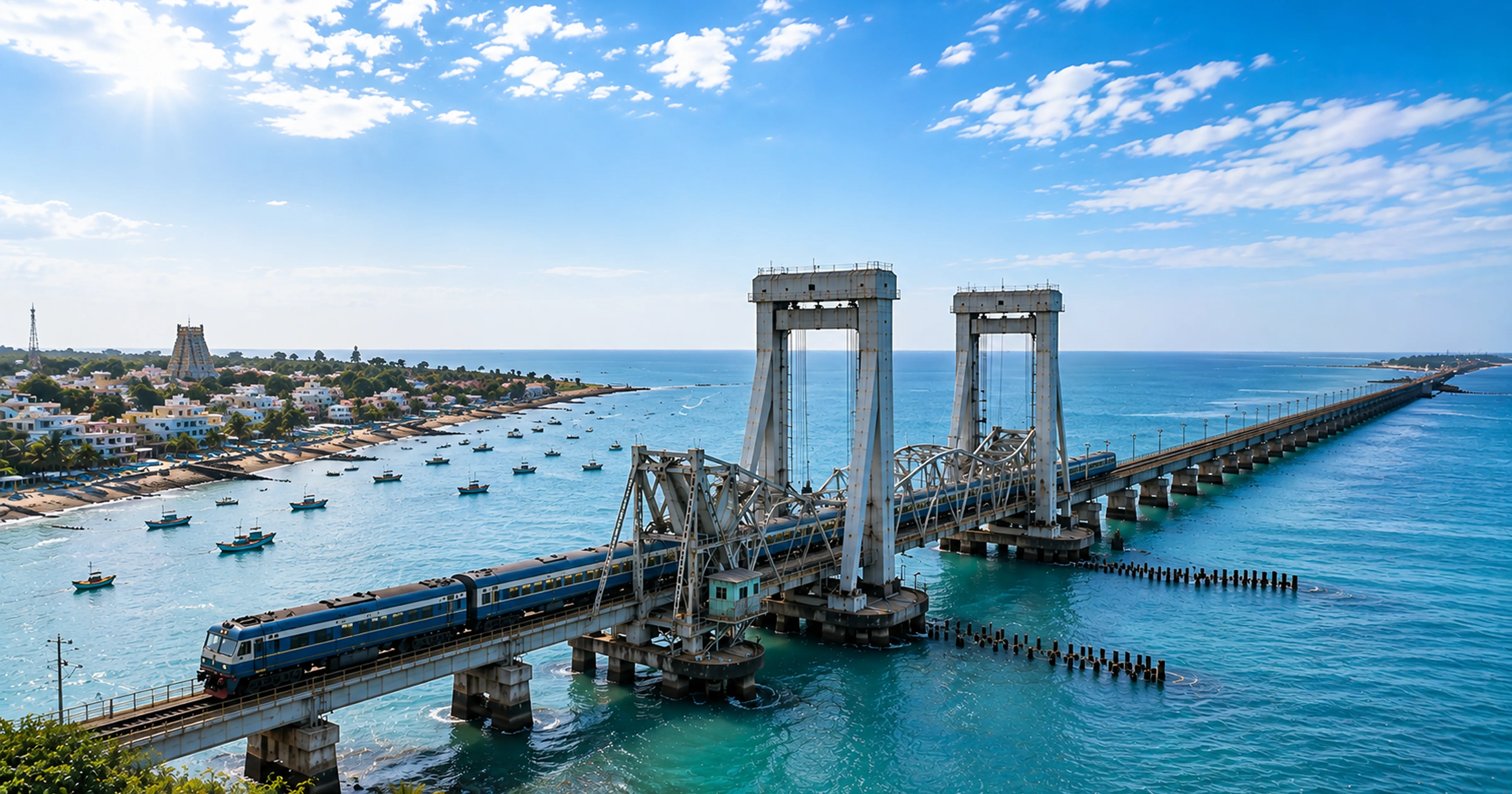
2.05 km of the Pamban Causeway — the Annai Indira Gandhi Road Bridge — carries NH49 across the Palk Strait connecting the Indian mainland to Pamban Island and Rameswaram. Water on both sides. The Indian Ocean to the south, the Palk Bay to the north. Parallel to the road runs the Pamban Rail Bridge — India's first sea bridge, opened in 1914, engineered by the British to allow ships through via a manually operated bascule section. Two structures, two centuries, one extraordinary composition.
The photography moment: sunrise from the Pamban Causeway with the rail bridge in the frame. Arrive at the bridge 30 minutes before sunrise — the light on the water changes every 5 minutes from deep purple to orange to gold as the sun clears the eastern horizon. Position on the bridge with the rail bridge parallel — the combination of modern highway and century-old engineering over open ocean is unlike any other photography location in South India. 635 km from Chennai via Madurai. Worth an overnight in Rameswaram specifically for this sunrise.
Highway 3 — Coastal Karnataka Highway NH66, Mangalore to Udupi — Arabian Sea and River Simultaneously
NH66 from Mangalore to Udupi follows the Karnataka coast through laterite cliffs, fishing villages and coconut groves. But the specific stretch that Outlook Traveller described in April 2026 as feeling 'almost unreal' is where the highway runs between two bodies of water — the Arabian Sea on one side and a calm river on the other. The road is flanked by water from both sides with barely any land visible except the tarmac. This is the photography equivalent of driving on water.
Additional photography stops on NH66 between Mangalore and Udupi: St Mary's Islands with hexagonal basalt rock formations accessible by ferry from Malpe Beach. Bhatkal's coastline where ancient mosques and churches share the cliff edge above the Arabian Sea. Maravanthe Beach where the road runs literally between the ocean and the Souparnika River — the famous 'two waters' stretch. 340 km from Bangalore via NH75 to Mangalore, then NH66 north to Udupi.
Highway 4 — Mysore to Ooty via Bandipur (NH181) — Forest Light and Wildlife Crossings
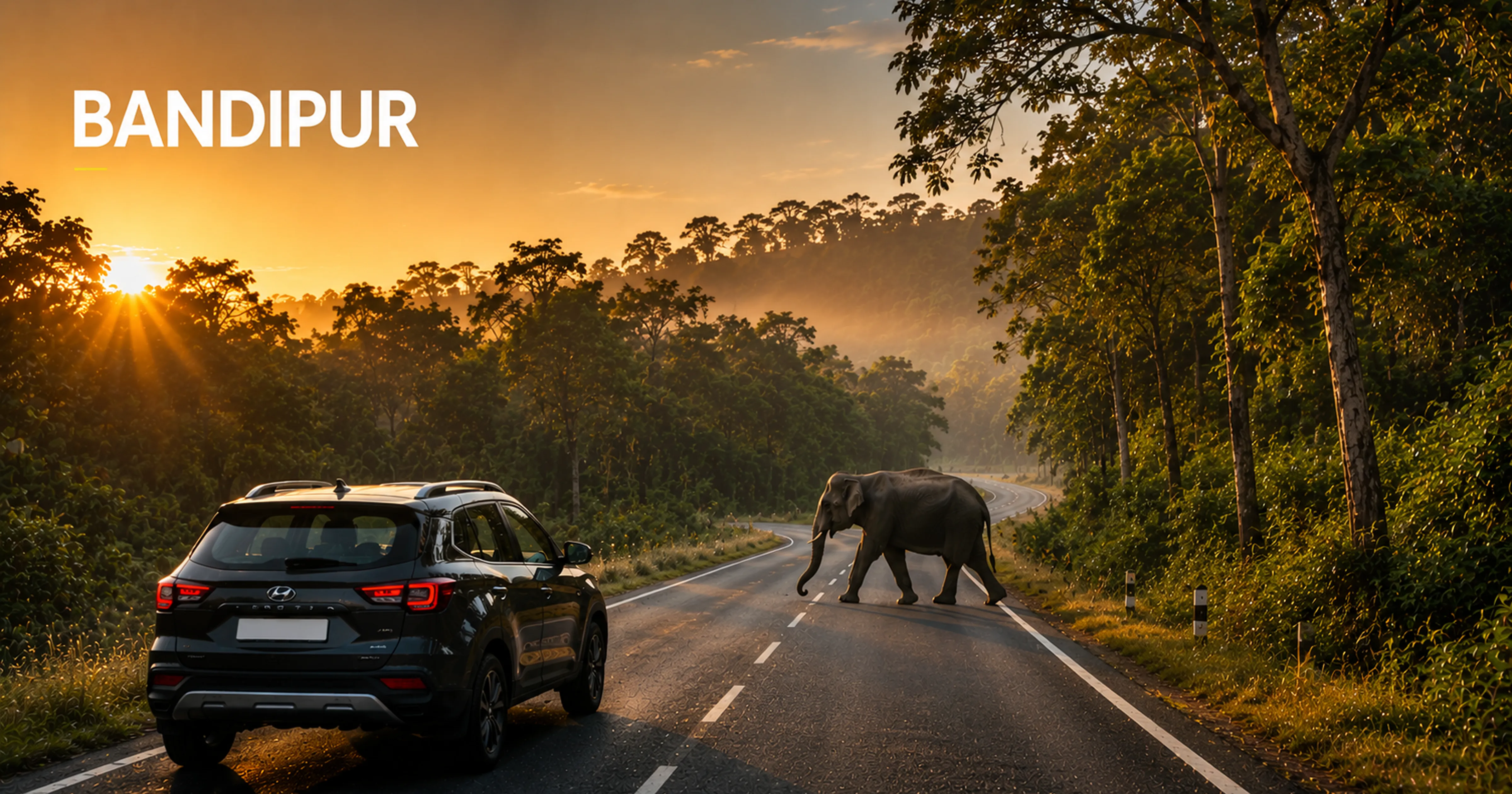
The drive from Bangalore to Mysore on NH275 is smooth and efficient. But the photography highway begins at Gundlupet where NH181 enters Bandipur National Forest. The road runs for approximately 30 km through dense teak and deciduous forest — no development, no buildings, just canopy on both sides and the occasional wildlife crossing. At 6 AM when the forest opens to vehicles, the light enters through the canopy in horizontal shafts. Chital deer cross the road as if the highway is their territory — because it is. Elephants, gaur and peacocks have all been documented crossing NH181 in the early morning hours.
After Bandipur, NH181 continues into Mudumalai National Park in Tamil Nadu before the ascent to Ooty via 36 hairpin bends. The hairpin section at 6 AM — with Nilgiri mist settling in the valleys below and the road curving up above the cloud layer — is among the most dramatic driving photography in South India. Leave Bangalore at 3:30 AM to reach Bandipur at 6 AM precisely when the forest road opens and the golden hour light begins.
Highway 5 — ECR Extension: Pondicherry to Karaikal — The Quiet Continuation
Most ECR drivers stop at Pondicherry. The highway continues south as the Cuddalore-Karaikal coastal road through fishing villages, coastal temples and stretches of empty beach that the main ECR tourist traffic never reaches. Killai mangrove estuary at 220 km from Chennai where the fishing boats anchor at dawn. Chidambaram Nataraja Temple 250 km from Chennai — one of India's five Shiva Paadal Petra Sthalams, photographed from the tank with the gopurams reflected in the water. Point Calimere Wildlife Sanctuary at 315 km — flamingo habitat and shallow lagoons at the southern tip of Tamil Nadu. Entirely accessible by self drive. Almost entirely unknown to standard ECR road trippers.
Highway 6 — Coimbatore to Ooty via Mettupalayam (NH181) — 36 Hairpins Through Nilgiri Forest
From Mettupalayam at the Nilgiri foothills, NH181 ascends to Ooty through 36 precisely numbered hairpin bends — the most photographically dense ghat road in South India. Each hairpin provides a new elevation and a new composition — the previous hairpin visible below, the next hairpin visible above, and the Nilgiri Valley spreading out to the horizon. The Nilgiri Mountain Railway — a UNESCO World Heritage Site — follows roughly the same route, and the train can be photographed crossing specific bridges visible from the road. At hairpin 18-20, looking back toward Mettupalayam, the Nilgiri plains spread to the horizon in the early morning light. 500 km from Chennai, 100 km from Coimbatore.
Highway 7 — Bangalore to Coorg via NH275 and SH88 — Expressway Into Coffee Country
The photography on this route changes character every 50 km. NH275 from Bangalore to Mysore is an expressway — clean, fast, sunrise light on the Deccan plateau landscape in the early morning. After Mysore, the road enters the Kodagu district through the Kushalnagar approach — rubber plantations, arecanut trees and the first coffee estates. SH88 from Kushalnagar to Madikeri is the photography highway — 40 km of ghat road through dense Western Ghats forest with the Cauvery River visible below in gorge sections. The Abbey Falls approach road through a private coffee estate in August monsoon — green so dense it is almost surreal. Raja's Seat viewpoint at Madikeri with valley mist at 6 AM.
Highway 8 — Ooty to Kodaikanal via Palani (State Road) — Two Hill Stations, One Drive
This route is one of the least-driven but most photographically rewarding state road connections in South India. From Ooty, descend via Coonoor and Mettupalayam, drive across the Nilgiri foothills through Coimbatore and Palani, then ascend the Kodaikanal ghat via the Palani Hills. The Palani Hills approach to Kodaikanal at 2,133 metres is steeper and narrower than the Nilgiri ghats — tighter hairpins, denser cloud forest, more dramatic valley views. The Kodaikanal lake in early morning mist — accessible immediately after the ghat ascent — mirrors the surrounding Shola forest in its still surface. This is a 2-day journey that requires planning but produces photography across two entirely different hill station ecosystems.
Highway 9 — Bangalore to Chikmagalur via Sakleshpur (NH75) — Coffee Belt and Western Ghats
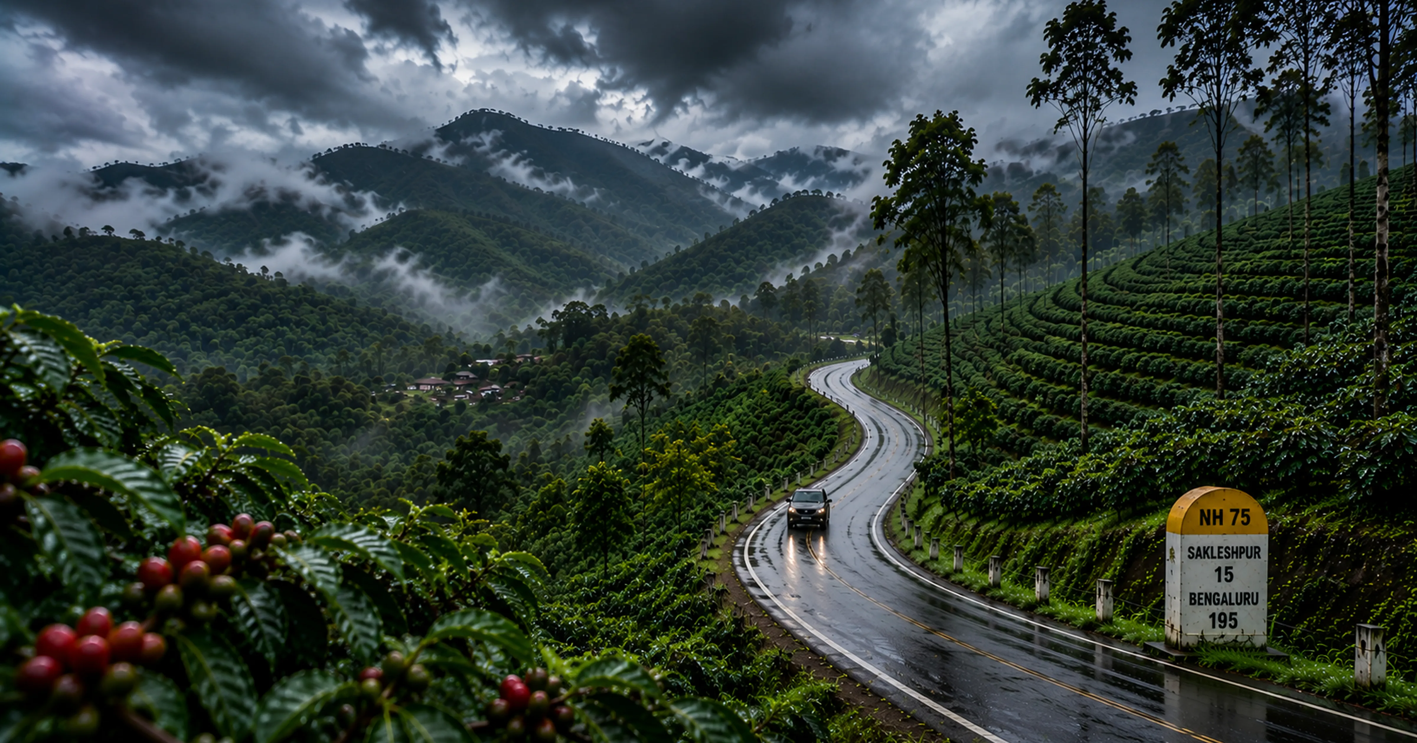
NH75 from Bangalore to Mangalore is one of India's most underrated highway photography routes. The Sakleshpur section — 200-250 km from Bangalore — passes through what is arguably the most beautiful coffee estate landscape in Karnataka. The Manjarabad Fort near Sakleshpur is an 18th century star fort commissioned by Hyder Ali, visible from the highway and photographically extraordinary in the morning mist. Bisale Ghat section of NH75 — 40 km of descent toward the coast through dense Western Ghats forest — has sheer valley drops of 600-800 metres visible from multiple pull-overs. The Bisle Reserve Forest has one of the only points in India where three mountain ranges are simultaneously visible: the Nilgiris, the Brahmagiri and the Kodagu Hills.
Highway 10 — Puri to Konark Highway, Odisha — The Drainage Battery Road
Holidify's May 2026 India road trip guide describes the Puri-Konark highway in Odisha as one of the roads that 'will force you to drain the battery on your camera.' The 36 km Konark Marine Drive runs through casuarina forest with the Bay of Bengal visible through the trees — and occasional complete openings where the beach and ocean appear with no obstruction. The Konark Sun Temple — a UNESCO World Heritage Site engineered as a colossal stone chariot of the sun god Surya — is at the end of the highway. The temple photographed at sunrise, from the approaching road, with the casuarina forest framing the structure, is one of India's most extraordinary heritage photography compositions. Not accessible from Chennai or Bangalore as a day trip — but the most photographic single highway stretch in India for anyone making the Odisha journey.
The Complete Photography Highway Guide — At a Glance
| Highway | From | Distance | Best time | Hero shot | MM Miles car |
|---|---|---|---|---|---|
| East Coast Road ECR | Chennai | 162 km | 5 AM departure | Mahabalipuram Shore Temple sunrise | Fronx or Creta |
| Pamban Bridge NH49 | Chennai via Madurai | 635 km | Arrive before sunrise | Bridge over ocean at dawn | Creta or Fortuner |
| NH66 Coastal Karnataka | Bangalore | 340+km | Morning or late afternoon | Road between sea and river | Creta or XUV700 |
| NH181 Bandipur Forest | Bangalore | 230 km | 6 AM forest opening | Deer crossing in shaft light | XUV700 or Fortuner |
| ECR South: Pondicherry to Karaikal | Chennai | 200-315 km | Dawn and dusk | Chidambaram temple in tank | Fronx or Creta |
| NH181 Mettupalayam Hairpins | Coimbatore | 100 km | Early morning | 36 hairpin bends from above | Creta diesel |
| NH275 + SH88 Coorg | Bangalore | 270 km | Dawn and evening | Abbey Falls through estate | Creta or XUV700 |
| Ooty to Kodaikanal State Road | Ooty | 180 km | Morning mist | Kodaikanal lake reflection | Creta diesel |
| NH75 Sakleshpur | Bangalore | 220 km | Early morning | Manjarabad Fort in mist | Creta or Fortuner |
| Puri to Konark Marine Drive | Puri, Odisha | 36 km | Sunrise | Konark Temple at first light | Any MM Miles car |
Photography Tips for Indian Highway Road Trips
- Always drive the most photogenic stretch during golden hour — the 45 minutes after sunrise and before sunset. The same highway that looks ordinary at noon looks extraordinary at 6 AM. Plan your entire road trip around when you will be on the most photogenic stretch.
- Pull over completely off the road before stopping to photograph — highway photography deaths in India occur when photographers stop on the travel lane. Every pull-over should be completely off the tar with hazard lights on.
- Download the specific route on Google Maps offline before driving any ghat section — signal drops on SH88 Coorg, NH181 Bandipur-Ooty and NH75 Sakleshpur. Losing navigation in the middle of a ghat section is dangerous and preventable.
- For the Bandipur section specifically — be at the forest entrance at 6 AM opening, not 6:15 AM. The golden hour light in the forest lasts approximately 45 minutes. Every minute of delay reduces the quality of the light.
- Carry a polarising filter for coastal highway photography — ECR, NH66 coastal Karnataka and Pamban Bridge all have water surfaces that reflect harsh light without a polariser. With a polariser, the ocean turns deep blue-green, the reflections reduce and the contrast between water and sky becomes photographic.
- The Mahindra XUV700's panoramic sunroof is specifically designed for this type of photography — standing through the open sunroof for a moving vehicle shot on the ECR or Bandipur forest road creates the most distinctive highway photography possible from a self drive car.
- Always check Karnataka Forest Department road status before any Bandipur or Western Ghats highway drive — aranyakavereonline.karnataka.gov.in. A closed ghat section discovered at the start of a highway changes your entire day.
For Tamil Nadu highway photography routes visit the Tamil Nadu Tourism Development Corporation at tamilnadutourism.tn.gov.in. For Karnataka highway and forest road conditions visit aranyakavereonline.karnataka.gov.in. For National Highway travel information and road conditions visit the National Highways Authority of India at nhai.gov.in. For the Pamban Bridge and Rameswaram visit the Archaeological Survey of India at asi.nic.in.
ECR at dawn. Pamban Bridge at sunrise. Bandipur at 6 AM. None of these wait for a tour schedule. A self drive car from MM Miles stops when you need it to. ₹799/day, delivered to your door in Chennai — zero deposit.
Book Your Photography Road Trip Car — Chennai →Bandipur, SH88 Coorg, NH75 Sakleshpur — Bangalore's most photogenic highways. MM Miles XUV700 or Creta diesel delivered to your door. Panoramic sunroof on the XUV700 for the shots nobody else is getting.
Book Your Photography Road Trip Car — Bangalore →